PT
PT EN
EN ES
ES
What the route is
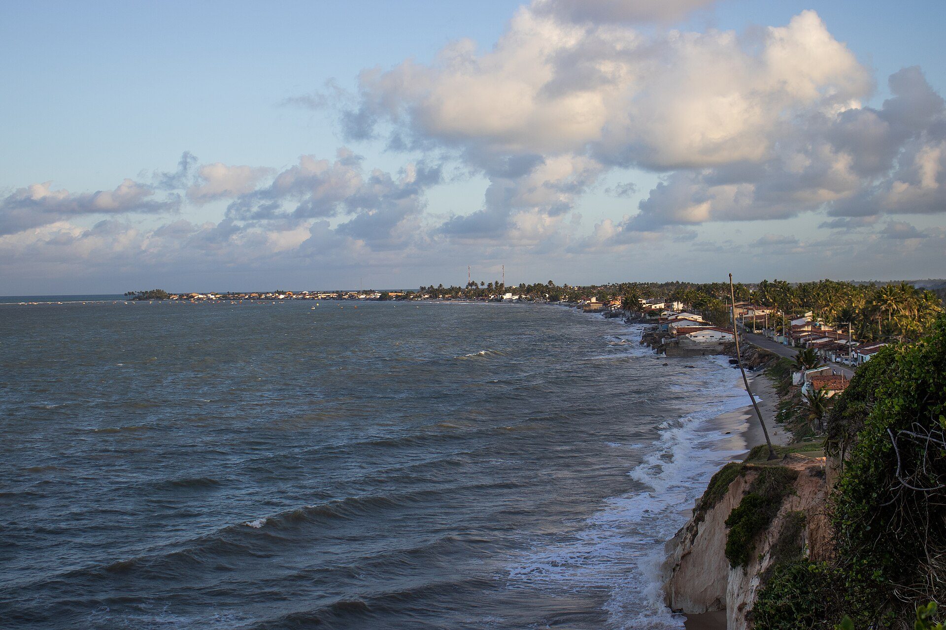
Nas Trilhas dos Potiguaras is the Paraíba government's sustainable-tourism project for the state's northern coast — the land where the Potiguara people still live. Its backbone is the BR-101, with turn-offs to Forte Velho (PB-011), Lucena (PB-027), Baía da Traição (PB-041) and Barra de Camaratuba (PB-061).
It covers 66 kilometres of coast, from Lucena to the mouth of the Guandu river, on the Rio Grande do Norte border. Of those, 32 lie inside environmental protection areas — the largest concentration of protected land in the state.
Video Conheça o Litoral Norte, from TV Câmara João Pessoa, on YouTube. It only loads when you click — until then, none of your data goes to YouTube.
The four stretches
- Forte Velho and Lucena — the stretch closest to the capital, across the Paraíba river.
- Barra de Mamanguape and Rio Tinto — estuary, mangrove and the coral barrier off the river mouth.
- Villages and Baía da Traição — the heart of Potiguara land.
- Barra de Camaratuba and Sagi — the far north, on the Rio Grande do Norte border.
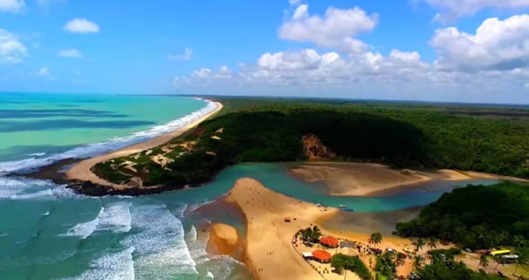
The Mamanguape River protected area
The name comes from the Tupi mamã-gua-pe, roughly “the place where people gather to drink” — and water is what it has most. The area covers 14,640 hectares across Rio Tinto, Marcação, Lucena and Baía da Traição: mangroves, lagoons, dunes, cliffs, restinga and sandstone reefs colonised by living coral.
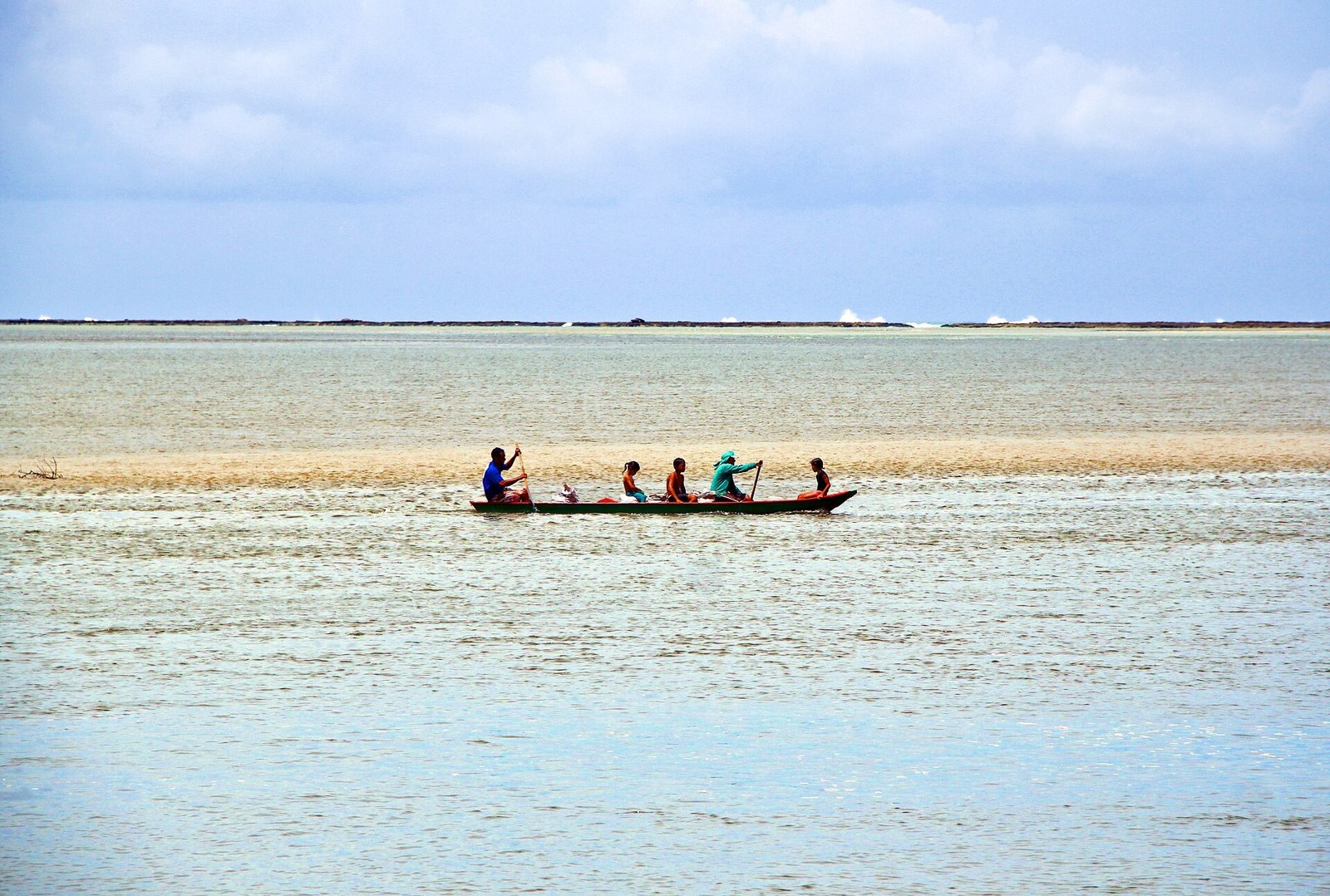
Open to visitors are the protected area itself, the Potiguara and Jacaré de São Domingos indigenous lands and the Caranguejo-Uçá Ecological Park. In the villages, visits follow the community's rules — go with a local guide.
How to do it from João Pessoa
The Lucena stretch fits in a day from the seafront. Baía da Traição and Barra de Mamanguape do too, with an early start. Camaratuba, in the far north, calls for at least one night in the area.
The most practical plan is to use João Pessoa as your base and do the northern coast on separate days — the lodging, restaurant and service infrastructure is all in the capital.